New product alerts
Be the first to know about new collections and special offers.
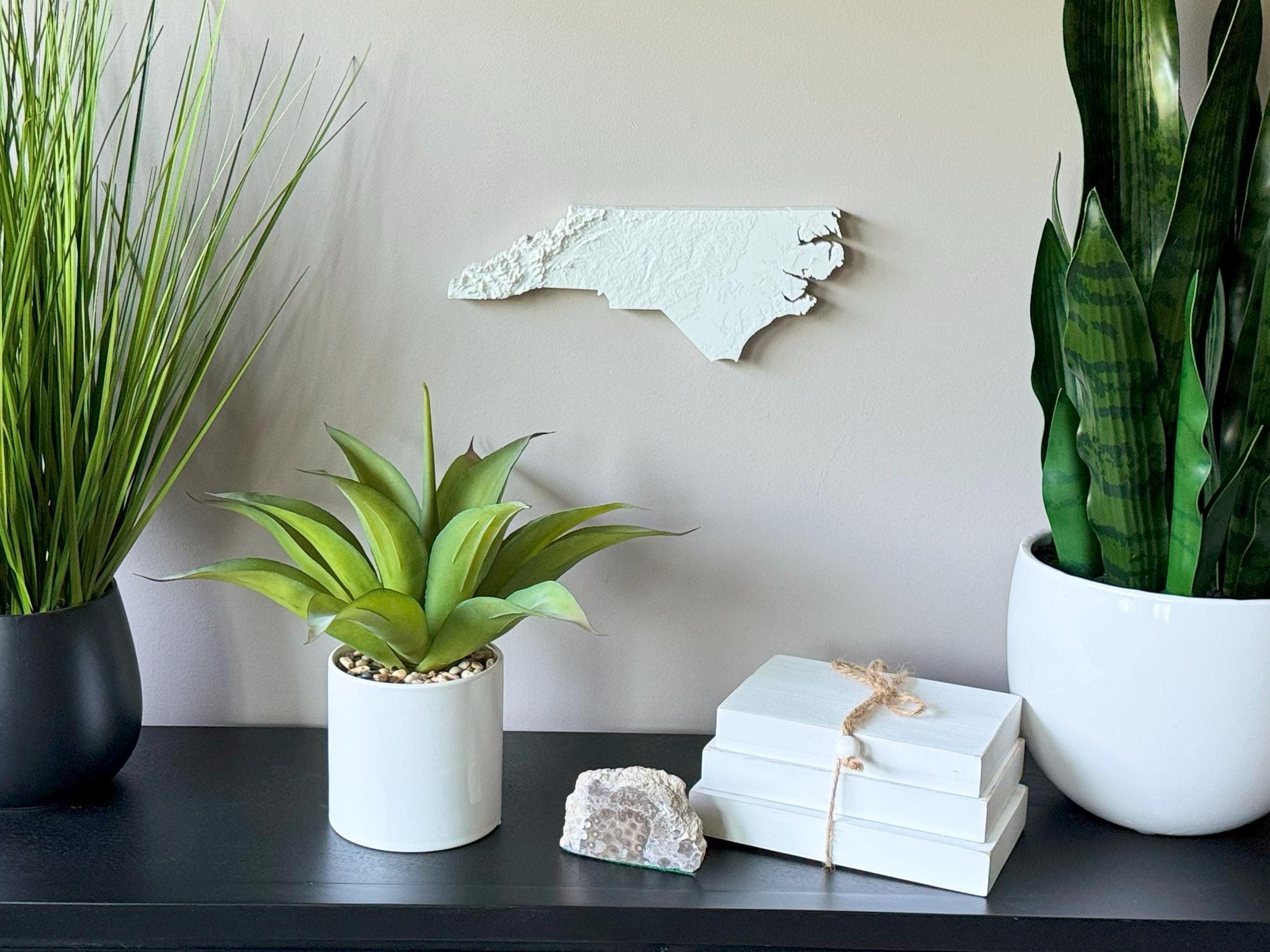
Explore the wild beauty of the Tar Heel State with this intricately crafted 3D Topographical Map of North Carolina, made from sustainable PLA filament. From the towering peaks of the Blue Ridge Mountains to the gentle sand dunes of the Outer Banks, this map captures the full range of North Carolina’s stunning landscapes.
Each piece is designed using real elevation data to bring accuracy and dimension to your wall. Whether you're from the mountains near Asheville, the Piedmont region, or the coast near Wilmington, this is the perfect way to showcase your connection to one of the most geographically diverse states in the South.
Product Highlights:
• Based on accurate topographic elevation data
• 3D printed with biodegradable PLA filament
• Lightweight and easy to hang with the built-in hanger
• Framed dimensions: 10.5" x 10.5" x approx. 0.5" deep
• Unframed dimensions: 4.5" height x 11.5" width x approx 1-1.5" deep
• Handcrafted in the USA
Perfect For:
• North Carolina natives and East Coast lovers
• Mountain hikers and beachgoers
• Rustic, coastal, or modern Southern home decor
• Gift ideas for birthdays, weddings, and housewarmings
• Geography buffs and adventurers
Customization Available:
Message us for customizations!
Eco-Friendly Craftsmanship:
Printed using sustainable PLA filament made from renewable plant sources — both beautiful and responsible.
From the Blue Ridge Parkway to the Atlantic shoreline, this 3D printed North Carolina topographical map wall art is a meaningful way to honor your love for the land, the views, and the Southern charm of NC.