New product alerts
Be the first to know about new collections and special offers.
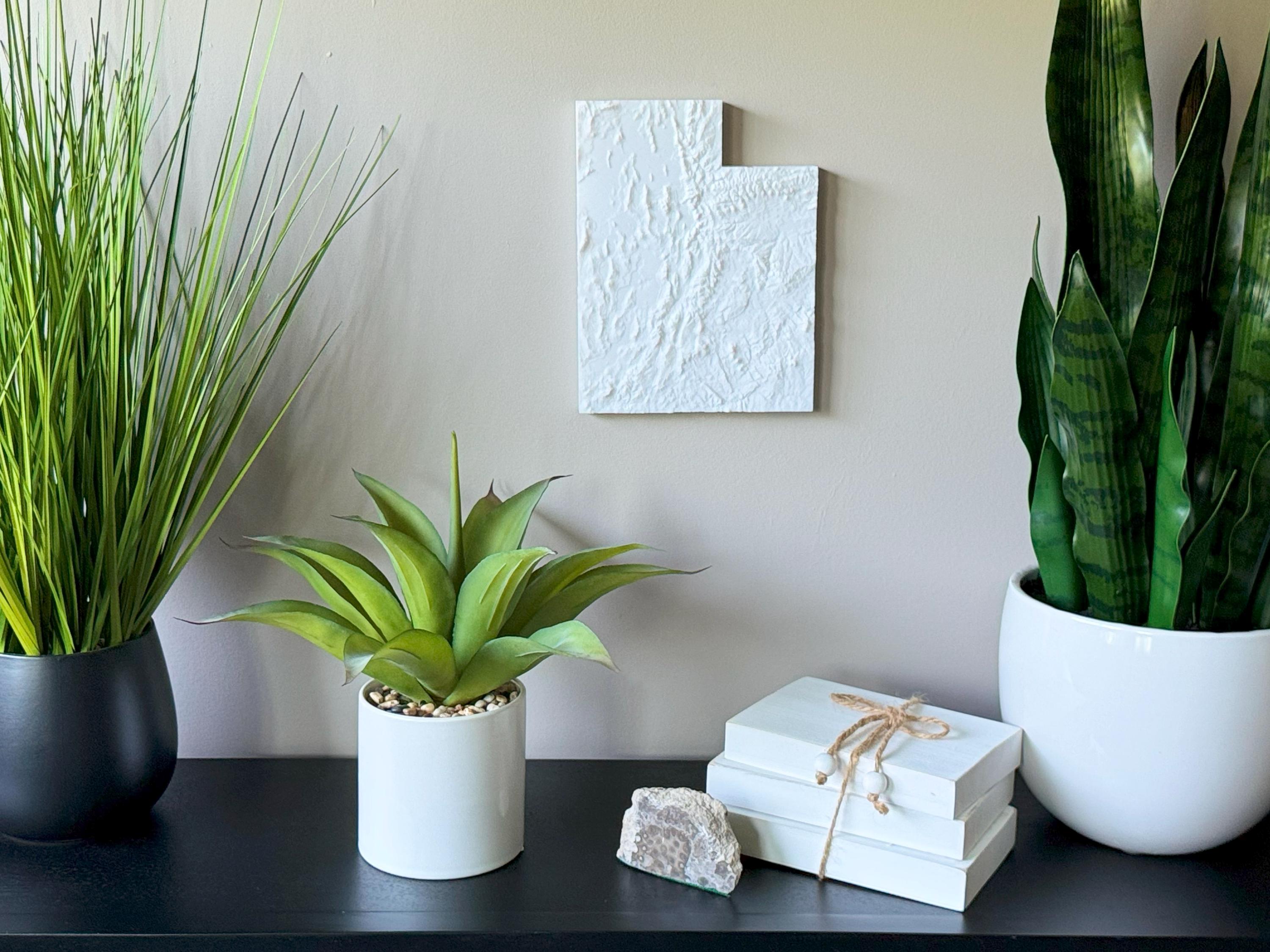
Celebrate the dramatic landscapes of the Beehive State with this bold 3D Topographical Map of Utah, 3D printed using sustainable PLA filament. From the Wasatch Mountains to the red rock canyons of Zion, Arches, and Bryce Canyon, this map showcases Utah’s stunning geological features in vivid detail.
Crafted using accurate elevation data, this map is perfect for lovers of Utah’s national parks, desert adventures, and alpine peaks. Whether you're from Salt Lake City, Moab, or St. George, this piece brings the wild beauty of the Southwest into your space.
Product Highlights:
• 3D printed with real topographical data
• PLA filament made from renewable plant sources
• Lightweight and easy to hang with the built-in hanger
• Framed dimensions: 10.5" x 10.5" x approx. 0.5" deep
• Unframed dimensions: 9.5" height x 7.25" width x approx 1-1.5" deep
• Handmade in the USA
Perfect For:
• National park fans and hikers
• Utah natives and desert explorers
• Southwest decor and adventure-inspired homes
• Unique travel-themed gifts
• Geography and geology lovers
Customization Available:
Message us for customizations!
Eco-Friendly Materials:
Crafted with biodegradable PLA for a planet-friendly display piece.
Let the land tell its story — from canyons to peaks, this 3D-printed Utah map brings elevation and energy to your home.