New product alerts
Be the first to know about new collections and special offers.
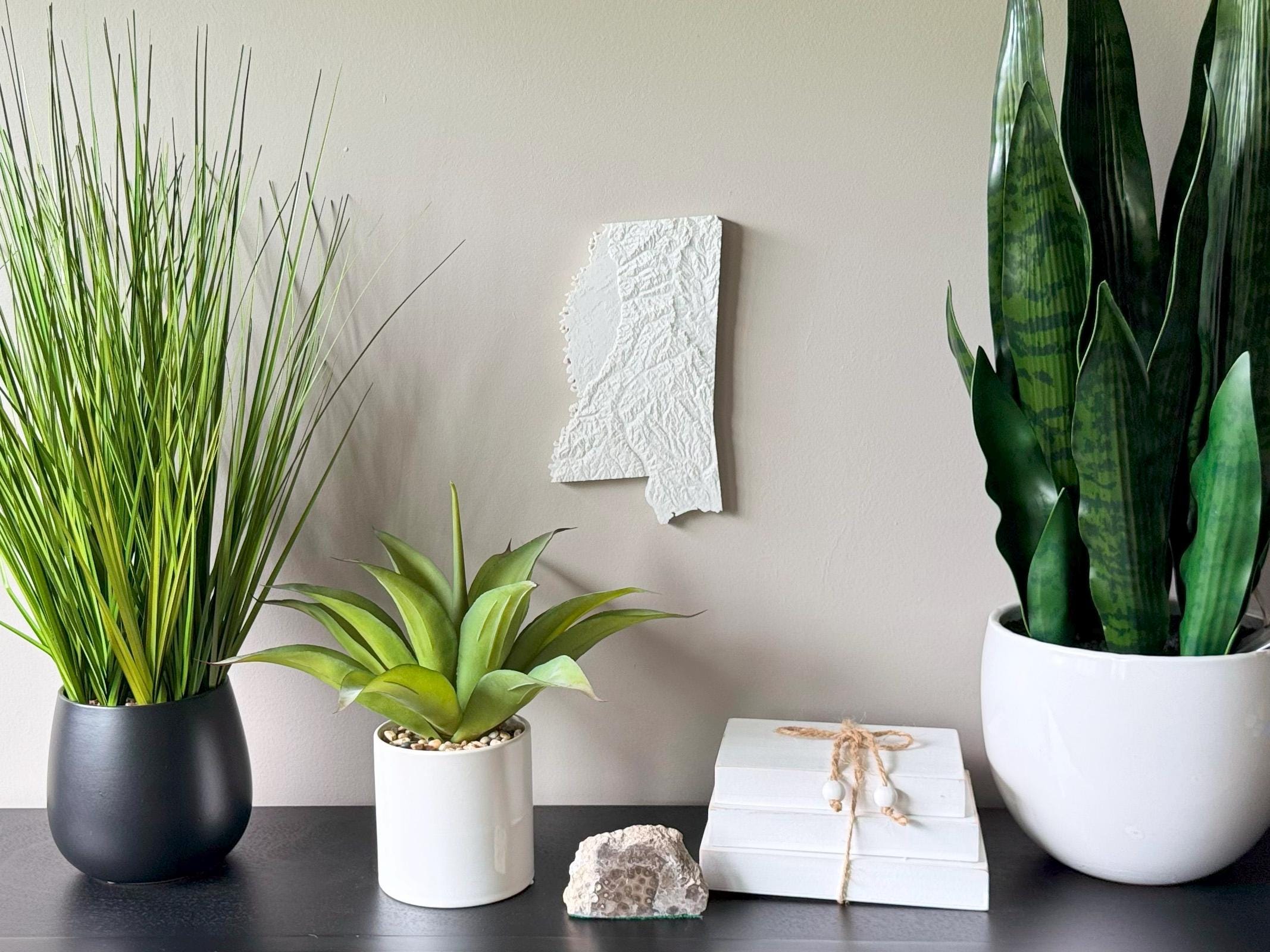
Celebrate the gentle hills, Delta lowlands, and winding Mississippi River with this 3D Topographical Map of Mississippi. Printed with sustainable PLA filament and designed from authentic elevation data, it captures the rich geography of the Magnolia State in tactile detail.
• Ideal for Mississippi natives, nature lovers, Southern decorators
• Unique gift for housewarmings, retirees, teachers, and grads
• 3D printed using accurate topographic elevation data
• Made with plant-based, biodegradable PLA filament
• Lightweight and easy to hang with the built-in hanger
• Framed dimensions: 10.5" x 10.5" x approx. 0.5" deep
• Unframed dimensions: 9.5" height x 8" width x approx 1-1.5" deep
• Handmade with care in the USA
From the bluffs of Natchez to the Delta plains and Gulf Coast, this map is a tribute to Mississippi’s deep-rooted beauty and culture.