New product alerts
Be the first to know about new collections and special offers.
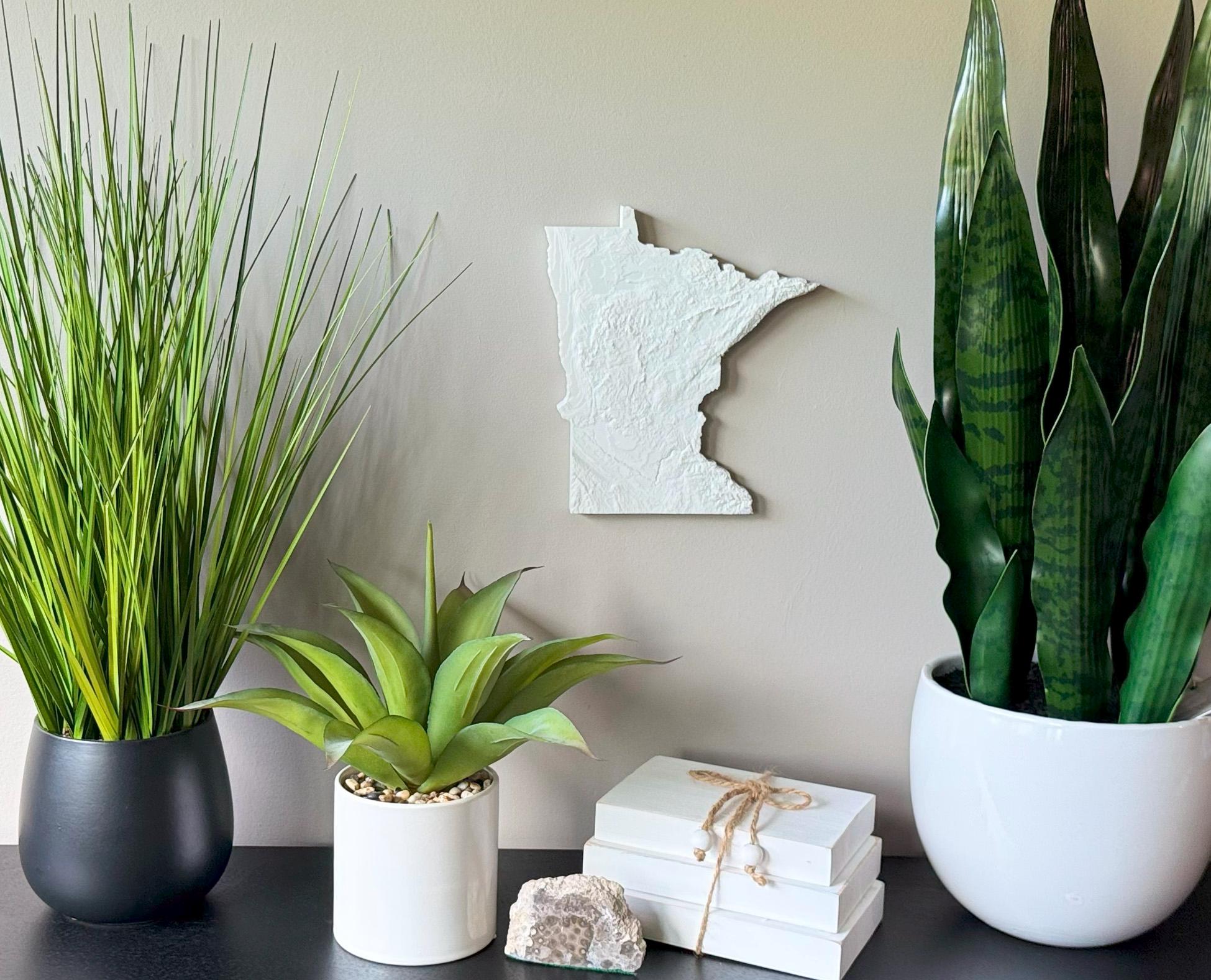
Celebrate the natural beauty of the Land of 10,000 Lakes with this 3D Topographical Map of Minnesota, crafted from real elevation data and printed in durable, eco-friendly PLA filament. From the Boundary Waters Canoe Area to the bluffs along the Mississippi River, this map captures Minnesota’s wild, glacially carved terrain.
Perfect for residents of Minneapolis, Duluth, or the North Shore, this is a meaningful tribute to lakes, forests, and northern pride.
Product Highlights:
• 3D printed using authentic elevation data
• Made from biodegradable, plant-based PLA filament
• Lightweight and easy to hang with the built-in hanger
• Framed dimensions: 10.5" x 10.5" x approx. 0.5" deep
• Unframed dimensions: 9.5" height x 8.5" width x approx 1-1.5" deep
• Handmade with care in the USA
Great for: Minnesota adventurers, cabin owners, nature lovers
Message us for customizations.
PLA filament = sustainable and lightweight