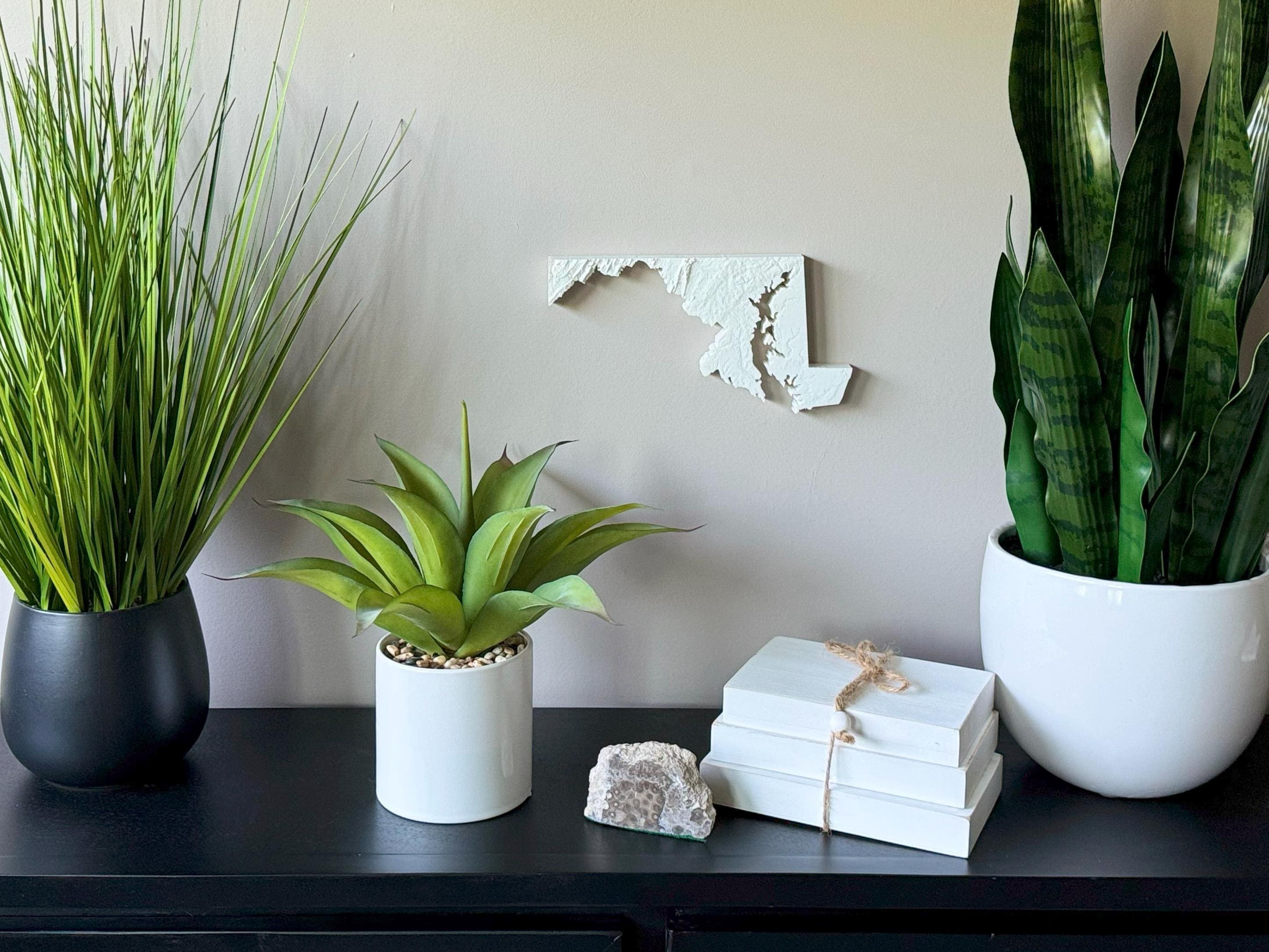
Celebrate the natural diversity of the Old Line State with this stunning 3D Topographical Map of Maryland, 3D printed using sustainable PLA filament. From the mountainous ridges of Western Maryland to the flat Eastern Shore and iconic Chesapeake Bay, this detailed elevation map brings Maryland’s varied terrain to life in textured, eye-catching form.
Designed with real topographic data, each map is a scientifically accurate and visually stunning tribute to Maryland’s unique blend of mountains, coastlines, and wetlands. Whether you're from Baltimore, Annapolis, the Eastern Shore, or the Appalachians, this is a meaningful piece of wall art that connects you to your roots.
Product Highlights:
• Designed using real elevation data
• 3D printed with biodegradable, eco-friendly PLA filament
• Lightweight and easy to hang with the built-in hanger
• Framed dimensions: 10.5" x 10.5" x approx. 0.5" deep
• Unframed dimensions: 5.3" height x 10" width x approx 1-1.5" deep
• Handmade in the USA
Perfect For:
• Maryland natives and Mid-Atlantic locals
• Chesapeake Bay lovers and nature enthusiasts
• Coastal home or rustic cabin decor
• Graduation, housewarming, or retirement gifts
• Geography fans and travel lovers
Customization Available:
Message us for customizations!
Sustainable and Stylish:
Made from PLA, a plant-based material that’s biodegradable and environmentally conscious.
Whether it’s the Blue Ridge foothills, tidal rivers, or the beauty of the Bay, this 3D printed topographical map of Maryland brings the land you love into your home with style and substance.