New product alerts
Be the first to know about new collections and special offers.
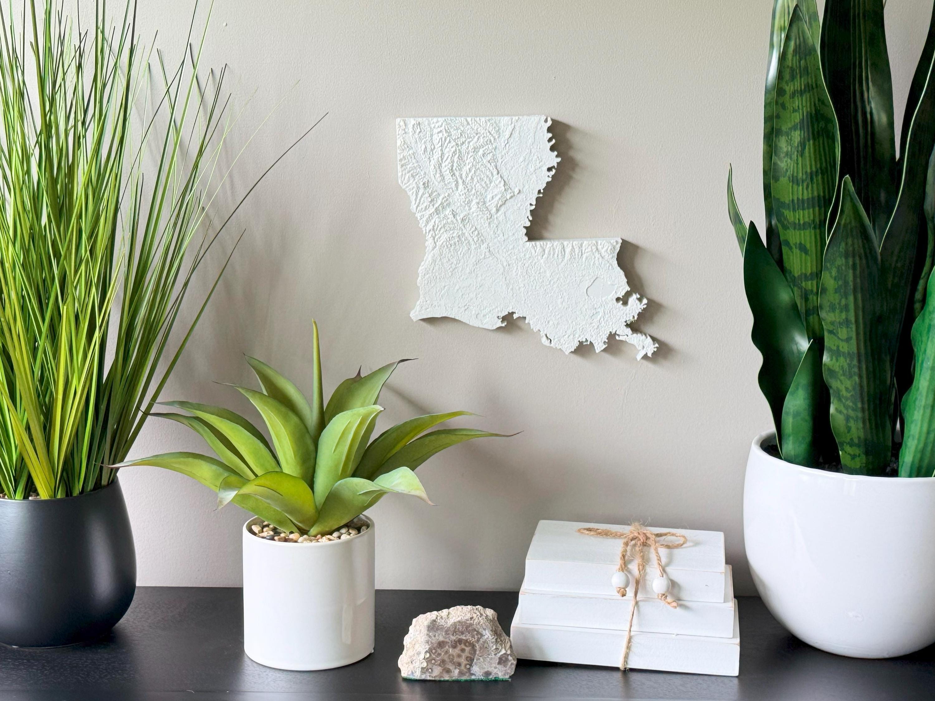
Celebrate the vibrant landscape and culture of the Bayou State with this detailed 3D Topographical Map of Louisiana, made from sustainable PLA filament and designed using real elevation data. From the rolling hills of northern Louisiana to the intricate wetlands, bayous, and delta plains of the south, this map beautifully captures the unique geography that defines the state.
Whether you’re from New Orleans, Baton Rouge, or the rural parishes, this wall art offers a tangible, elevated look at the land that shapes Louisiana’s character. It’s a conversation-starting piece perfect for showcasing your love of Cajun Country, Creole roots, or the beauty of the Gulf Coast.
Product Highlights:
• Real topographic elevation data turned into 3D wall art
• Eco-conscious PLA filament – lightweight and durable
• Lightweight and easy to hang with the built-in hanger
• Framed dimensions: 10.5" x 10.5" x approx. 0.5" deep
• Unframed dimensions: 9.5" height x 9.8" width x approx 1-1.5" deep
• Handmade with love in the USA
• Easy to hang or frame
Perfect For:
• Proud Louisiana residents and natives
• Southern-inspired home or office decor
• Nature lovers, travelers, and outdoors enthusiasts
• Gifts for weddings, housewarmings, retirements, or holidays
• Fans of bayous, swamps, deltas, and Southern culture
Sustainably Crafted:
Printed with biodegradable PLA filament sourced from plants — good for your wall and the planet.
Bring home a piece of the Mississippi Delta, Atchafalaya Basin, or Gulf Coast charm with this elegant, dimensional map of Louisiana — a true tribute to the land and heritage of the South.