New product alerts
Be the first to know about new collections and special offers.
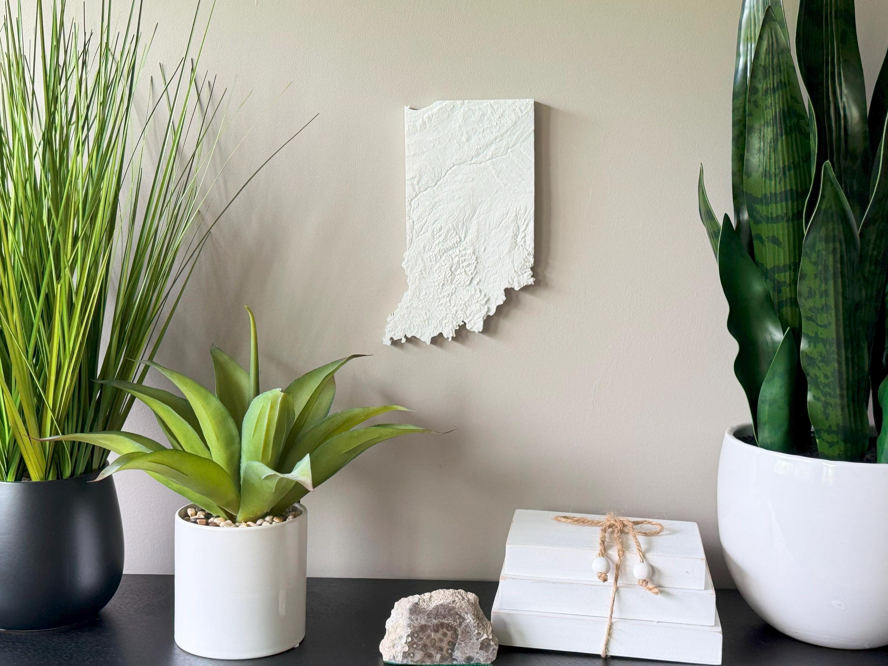
Display your Hoosier pride with this handcrafted 3D Topographical Map of Indiana. Made using real elevation data and printed with eco-friendly PLA filament, it highlights Indiana’s gently rolling hills, glacial plains, and Ohio River valley in subtle yet stunning 3D relief.
• Great for Indiana locals, geography buffs, and rustic decor
• Perfect for grads, teachers, and Midwestern families
• 3D printed using accurate topographic elevation data
• Made with plant-based, biodegradable PLA filament
• Lightweight and easy to hang with the built-in hanger
• Framed dimensions: 10.5" x 10.5" x approx. 0.5" deep
• Unframed dimensions: 9.5" height x 8" width x approx 1-1.5" deep
• Handmade with care in the USA
From Indianapolis to the southern hills and northern farmland, this is a beautiful way to keep a piece of Indiana close.