New product alerts
Be the first to know about new collections and special offers.
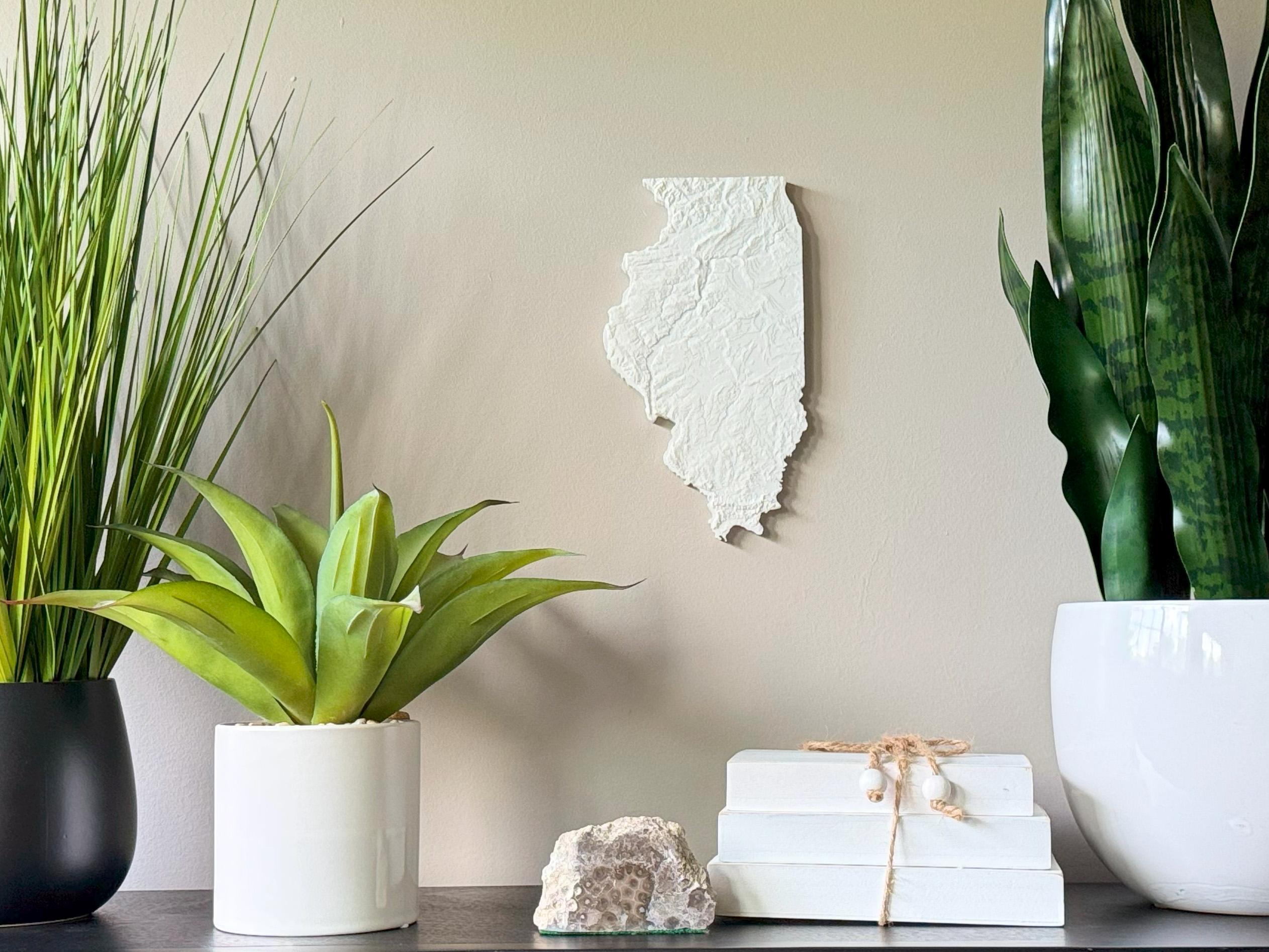
Honor the subtle beauty of the Prairie State with this 3D Topographical Map of Illinois, designed using accurate elevation data and printed in lightweight PLA filament. From southern Illinois’ Shawnee Hills to the flat plains and river valleys, this minimalist yet detailed map celebrates the heart of the Midwest.
• Perfect for Illinois natives, geographers, teachers, and decor lovers
• Thoughtful gift for housewarmings, grads, and history buffs
• 3D printed using accurate topographic elevation data
• Made with plant-based, biodegradable PLA filament
• Lightweight and easy to hang with the built-in hanger
• Framed dimensions: 10.5" x 10.5" x approx. 0.5" deep
• Unframed dimensions: 9.85" height x 5.5" width x approx 1-1.5" deep
• Handmade with care in the USA
Whether your roots are in Chicago, Springfield, or a quiet river town, this map offers a striking tribute to the Illinois landscape.